
Here are some Alaska Railroad earthquake photos I purchased on eBay.
 |
 |
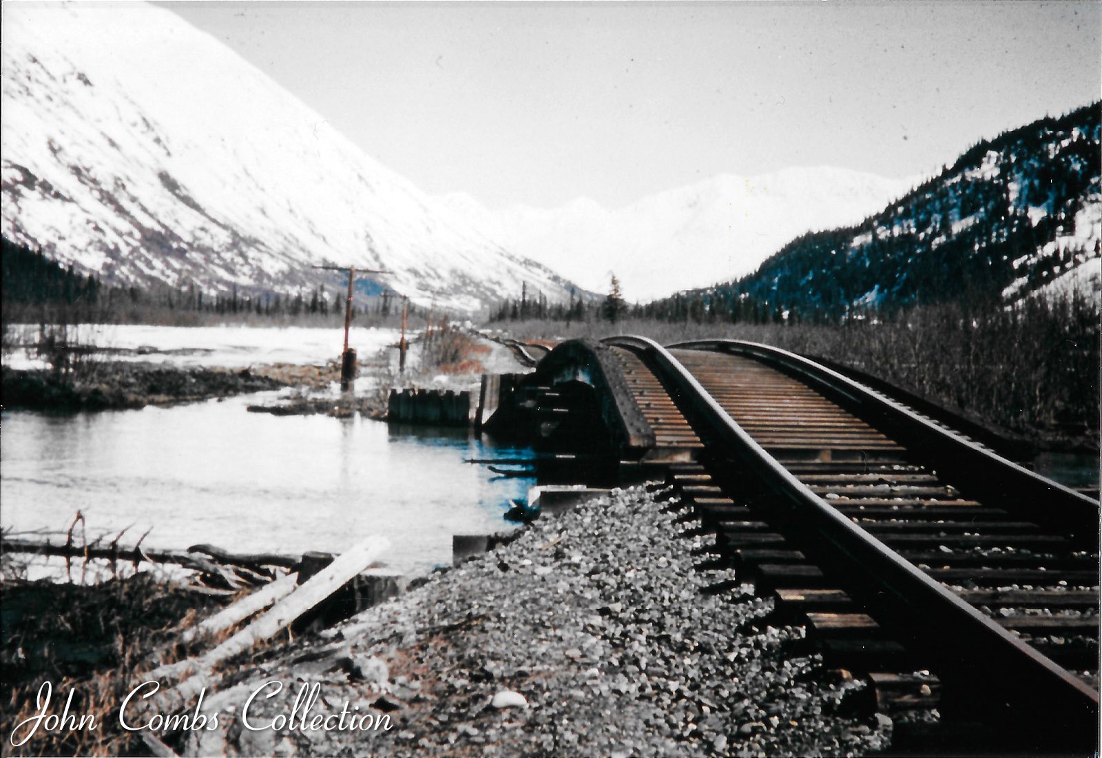 |
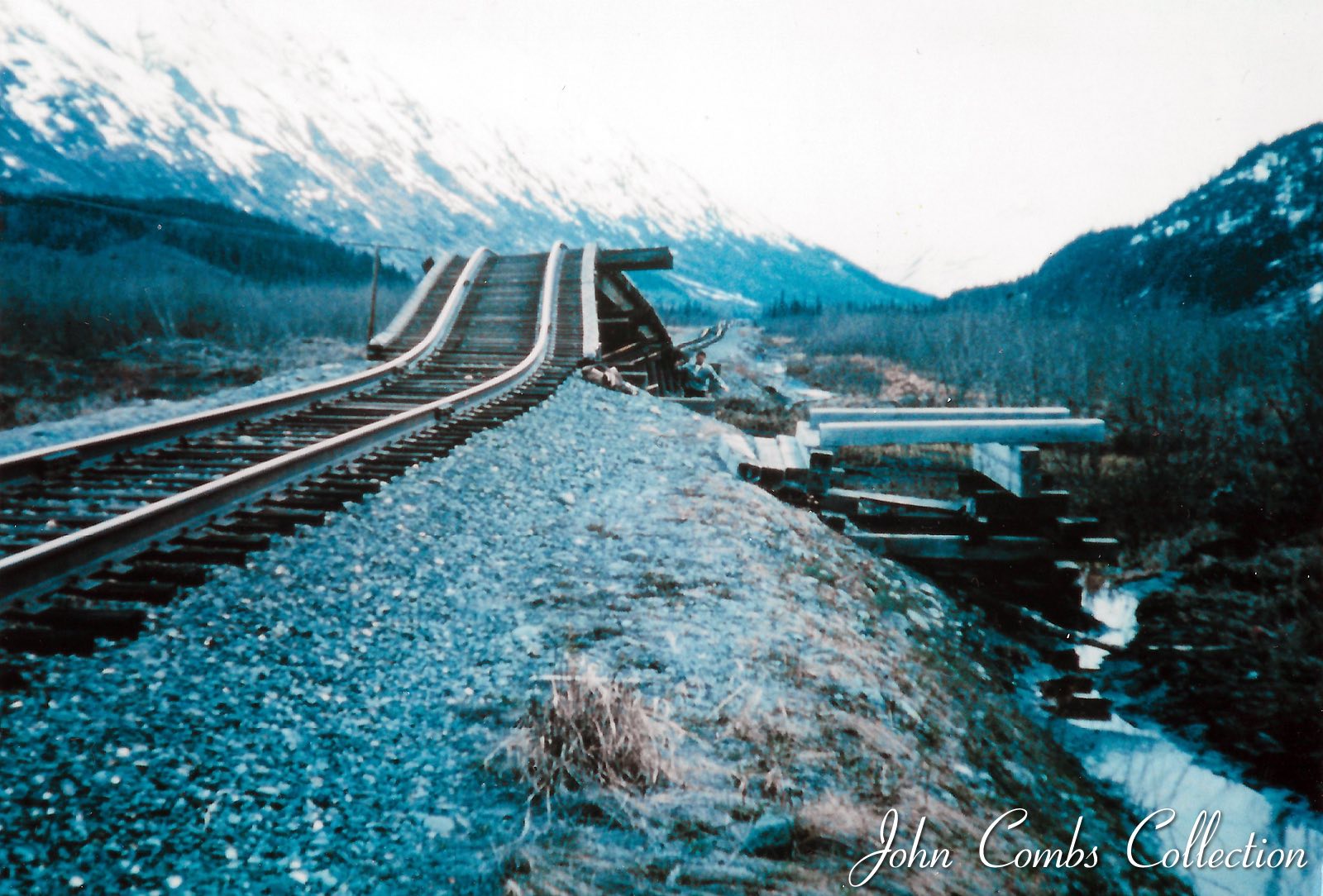
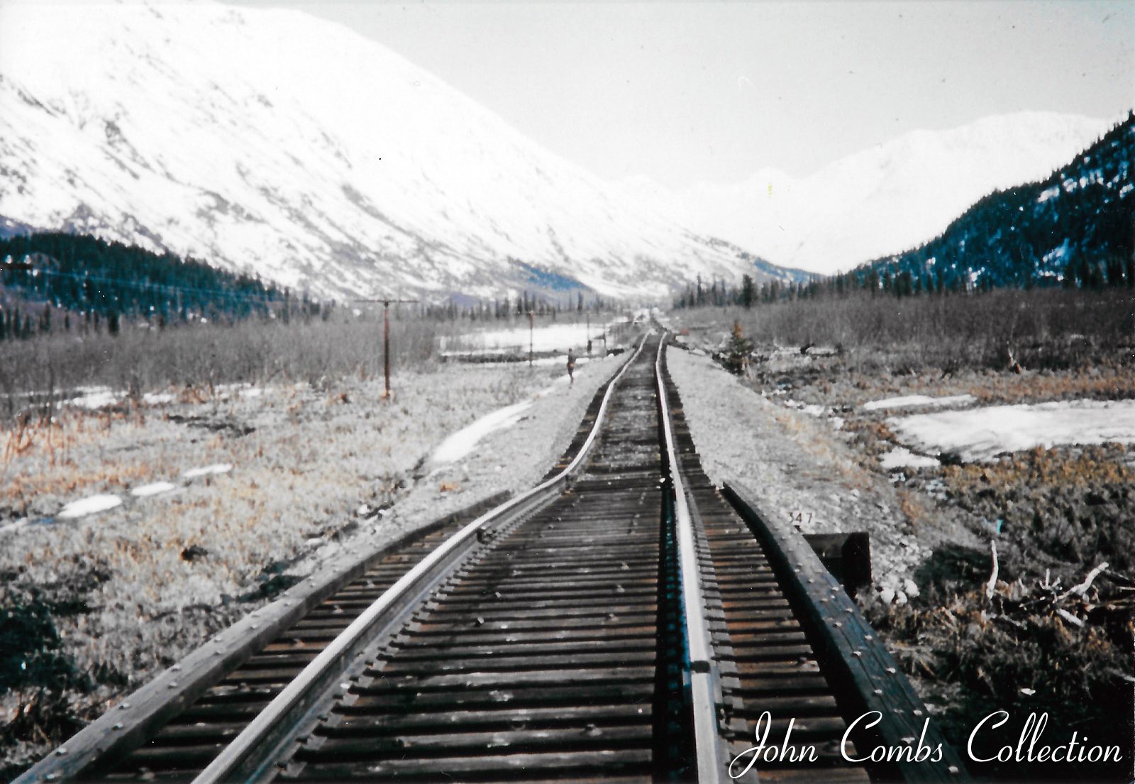
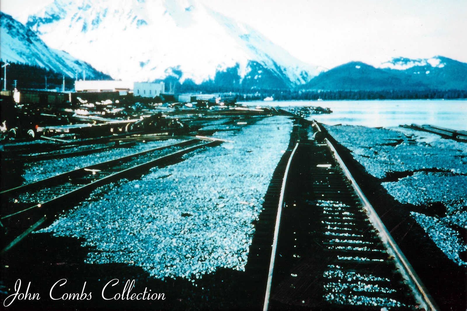
| Railroad south of Portage toward Seward. Valley floor is loose gravel and old tideflats left when the glaciers backed up the valley. Subject to liquefaction in a prolonged quake. Bridges provide a release for energy when the rails are compressed against each other. Bridge at mile 34.5. | Railroad south of Portage toward Seward. Valley floor is loose gravel and old tideflats left when the glaciers backed up the valley. Subject to liquefaction in a prolonged quake. Bridges provide a release for energy when the rails are compressed against each other. | Railroad south of Portage toward Seward. Valley floor is loose gravel and old tideflats left when the glaciers backed up the valley. Subject to liquefaction in a prolonged quake. Bridges provide a release for energy when the rails are compressed against each other. |
 |
 |
 |
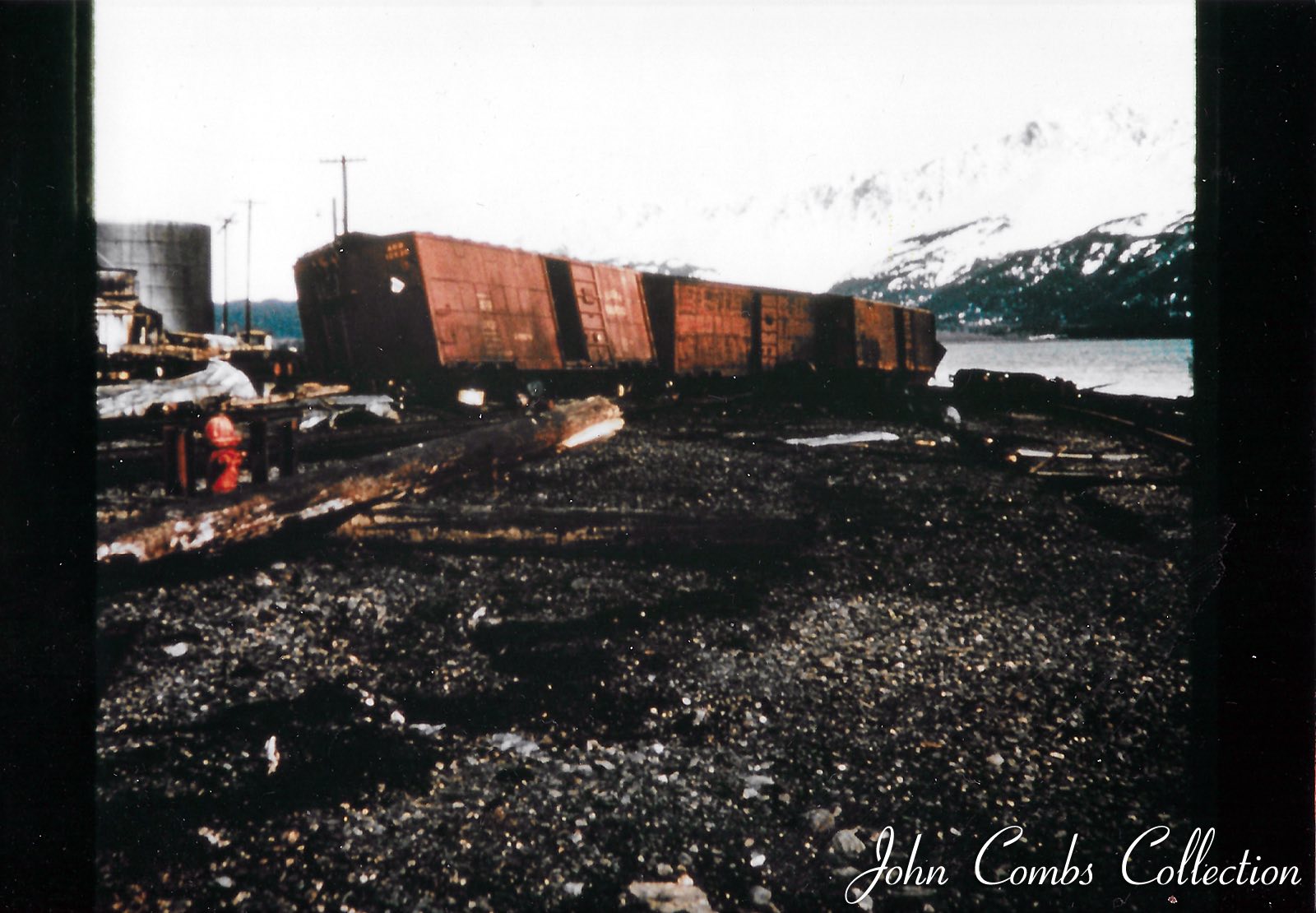
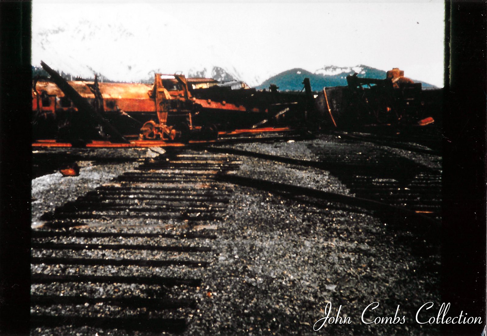
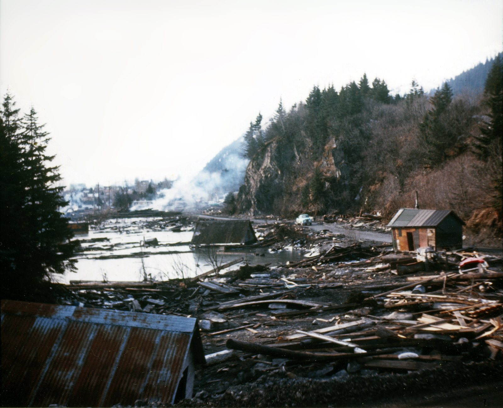
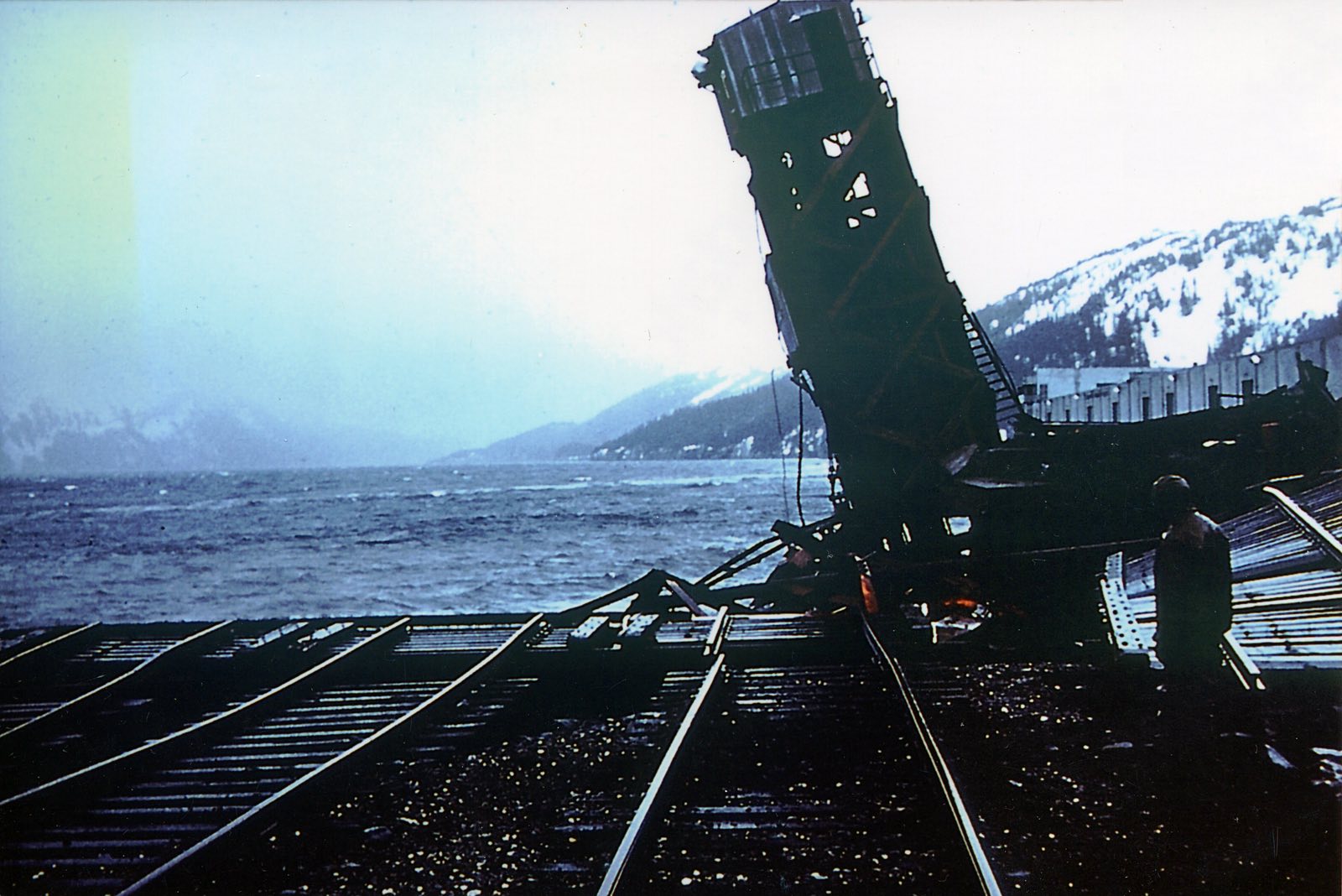
Seward Yard after the 9.2 Good Friday 1964 quake. |
Seward Yard after the 9.2 Good Friday 1964 quake. | Seward Yard after the 9.2 Good Friday 1964 quake. |
 |
 |
 |
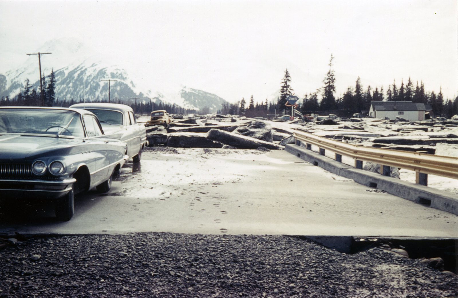
| Pair of RFS1 Alcos boring side dump cars with Rip Rap trying to stabilize tracks in the subsidence zone along Turnagain Arm just RR North of Bird Point. Retired ARR mechanic Jerry Peters says, "I think we water-proofed the traction motors on some of these units to enable them to wade through the water as shown on this picture. We welded patches over the air vents on the lower part of the traction motors." | Portage looking RR North toward the 20 mile Bridge. The Seward Highway is there somewhere in the mess to the left of the tracks. | Looks like the highway just North of Seward after the quake. |
 |
 |
 |
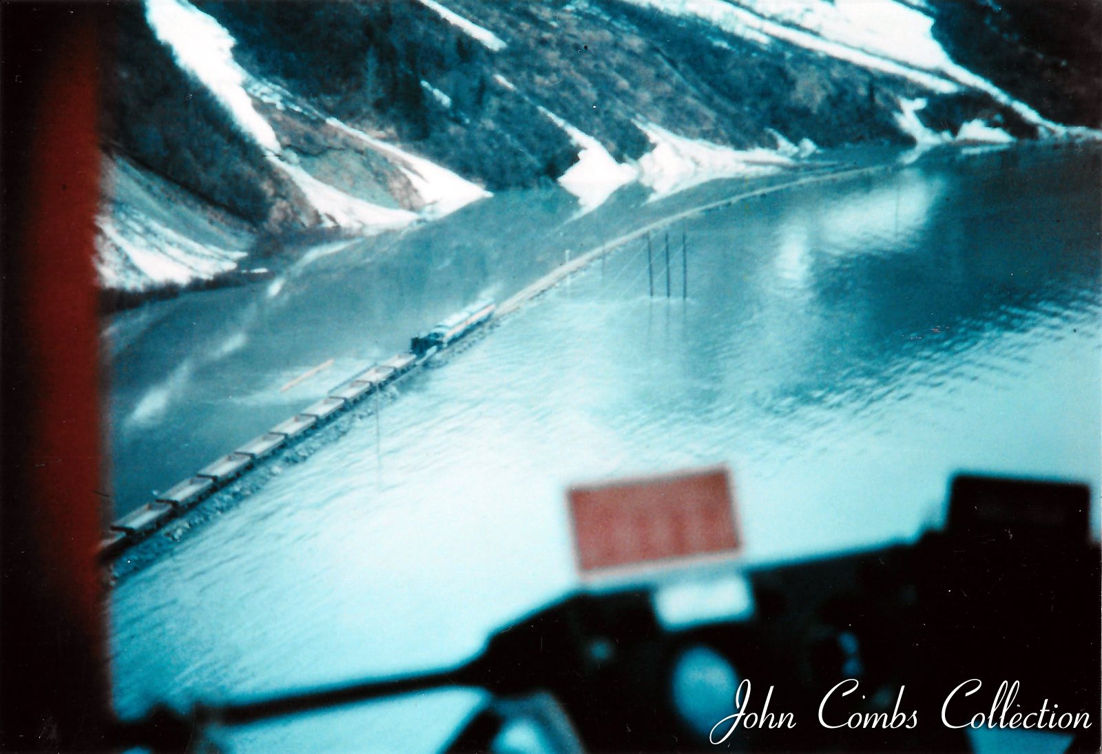
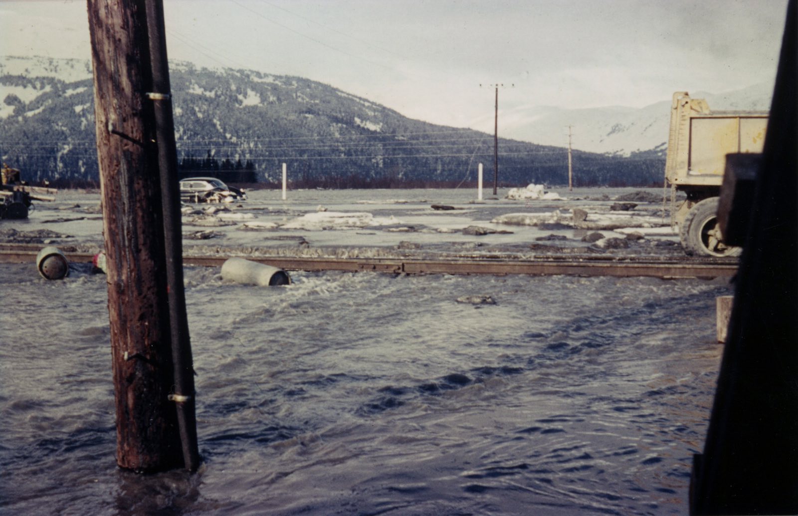
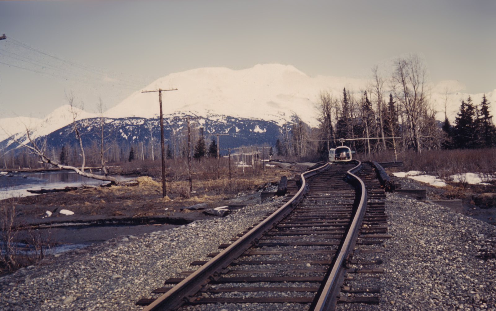
| Portage during high tide. The ground around this area subsided between eight and twelve feet during the earthquake. | Bridge at mile 61.9 note inspection helicopter landed on the track | No text |
 |
 |
 |
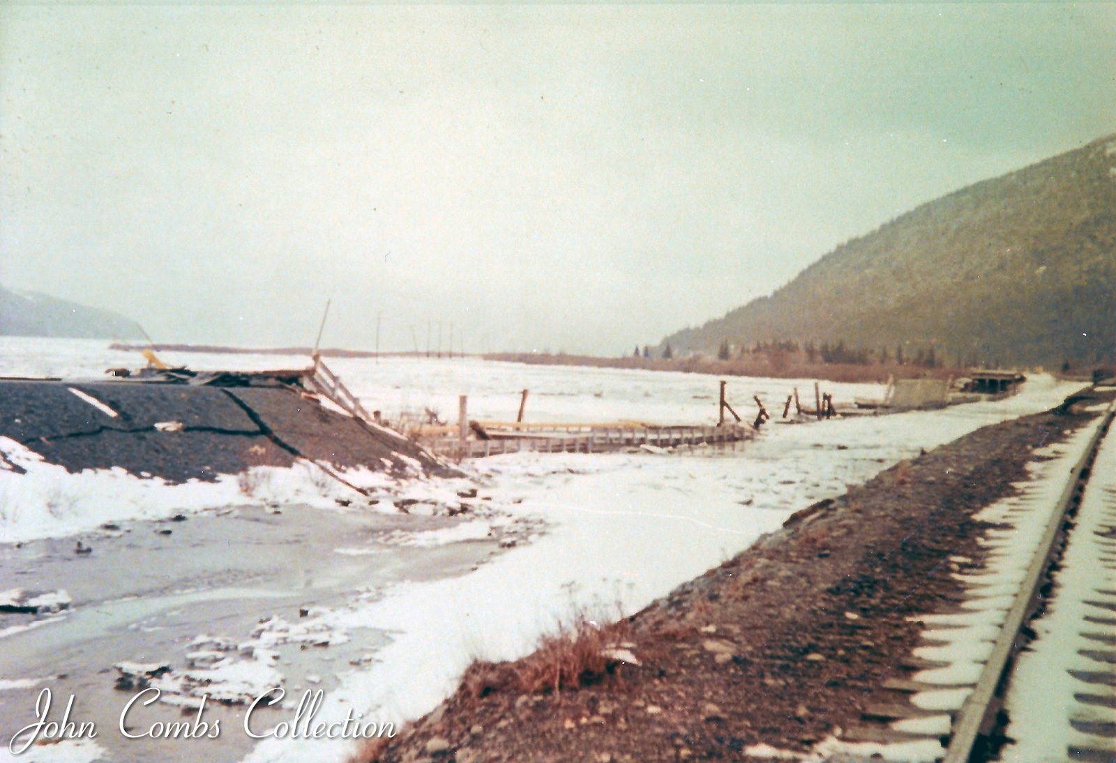
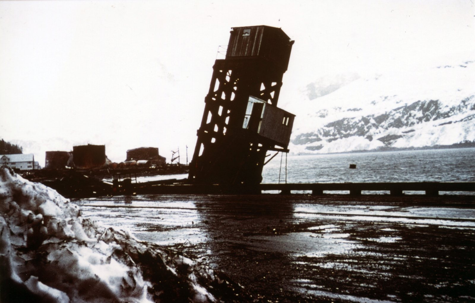
| Whittier barge slip after the Good Friday earthquake. | Damaged original barge slip at Whittier. | The bridge at the north end of the long curve is Br. 20.0. Looking north |
 |
 |
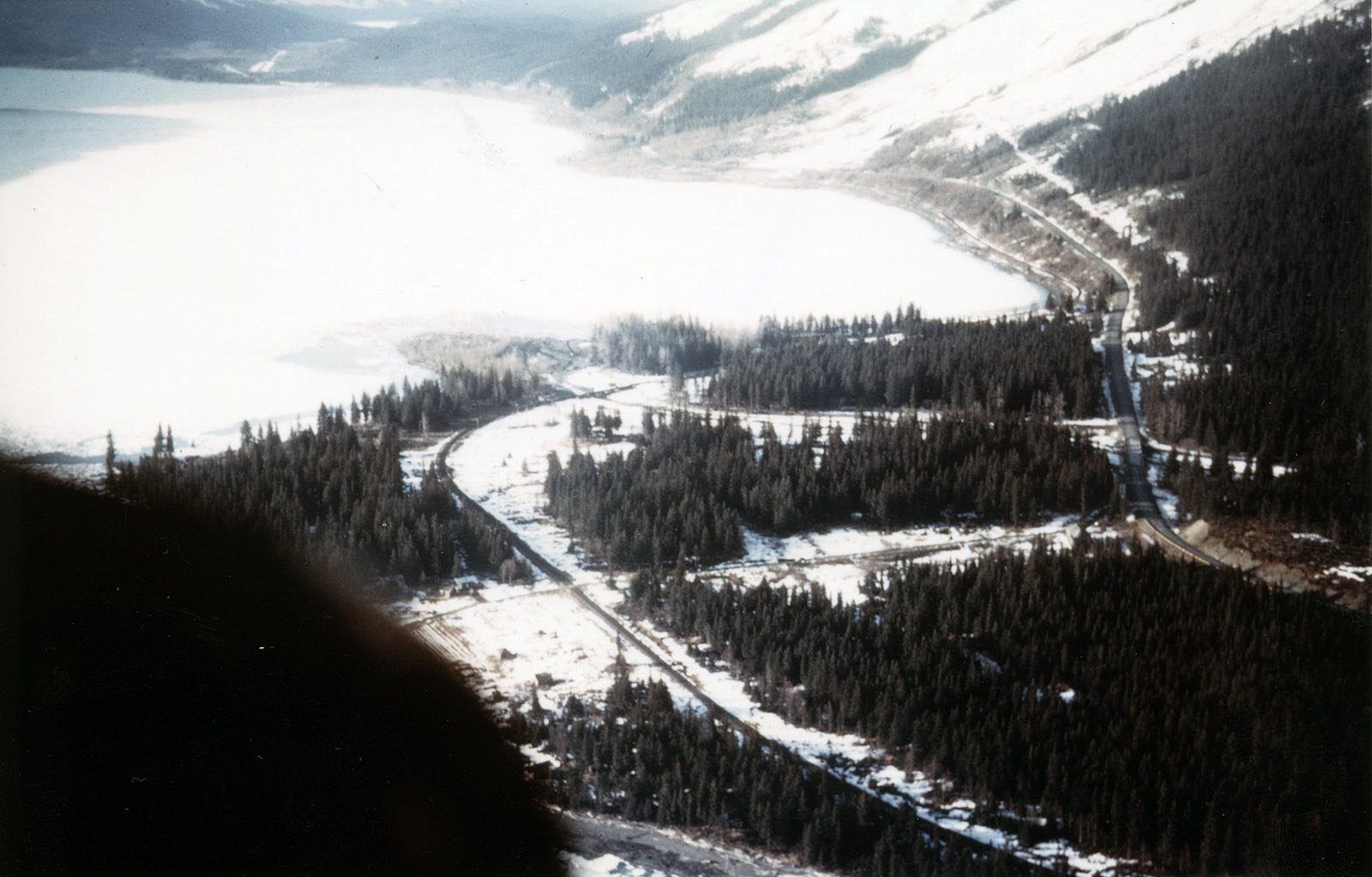 |
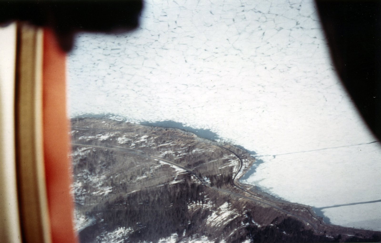
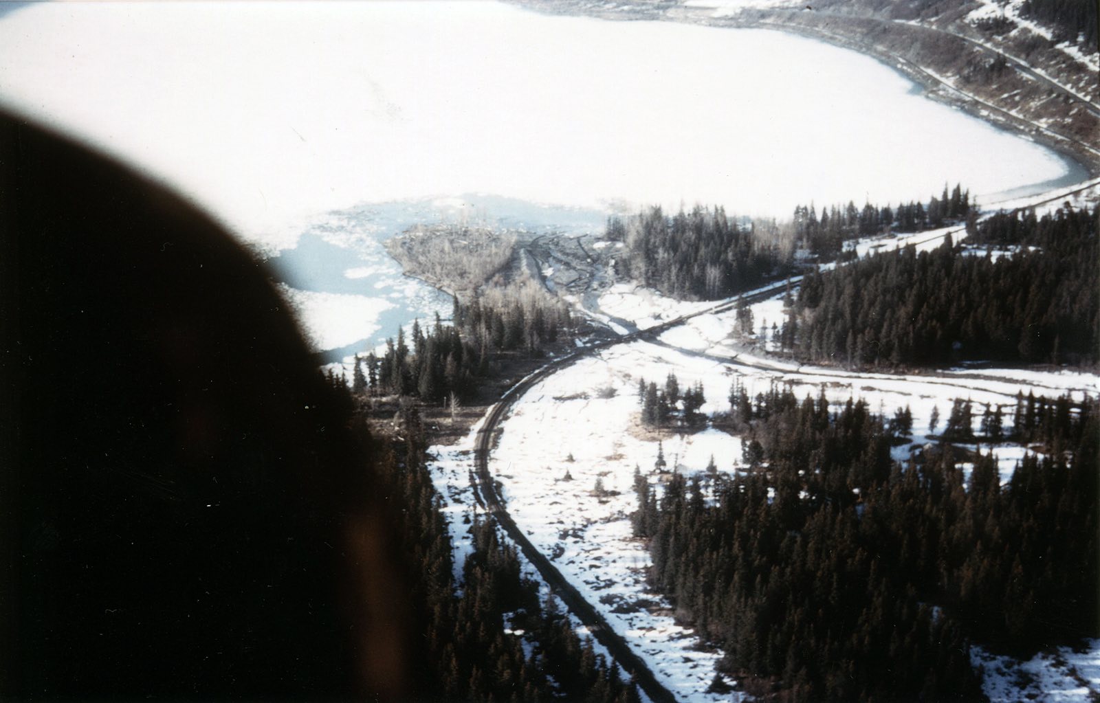
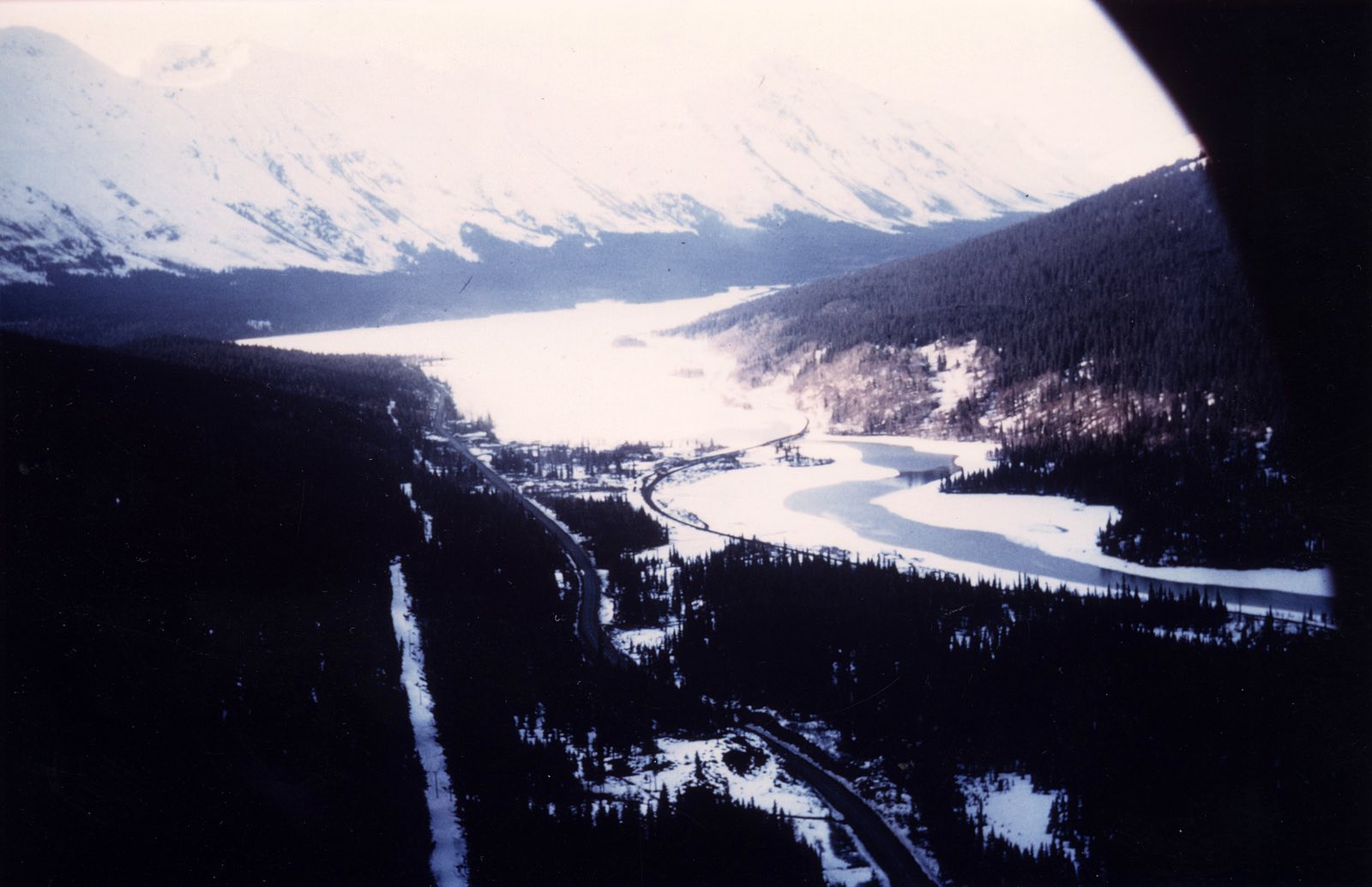
| No text | Looks like an aerial photo looking north over Moose Pass, with the rr bridge over the Trail Creek, Trail Lake in background. OR - The bridge at the north end of the long curve is Br. 20.0. Looking north |
The bridge at the north end of the long curve is Br. 20.0. Looking north |
Page created 11/6/19 and last updated 2/10/20